We’re harnessing Earth Observation to tackle
the Kingdom of Saudi Arabia's biggest challenges

Leveraging our experience to set new standards in accuracy and ROI to drive growth and cut costs for our customers

About Us

Video Thumbnail

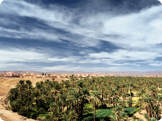
Turning Earth observation data into actionable terrestrial insights

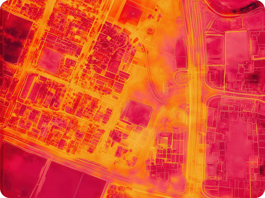
We create bespoke and customised Earth observation solutions utilising high-resolution satellite imagery, smart sensors, machine learning, AI, and edge computing, that provides descriptive, diagnostic, and predictive analytics tailored to our clients’ exact business goals, needs and internal processes.

This allows our clients, across multiple industries, to make smarter and more timely decisions, by leveraging data from space.

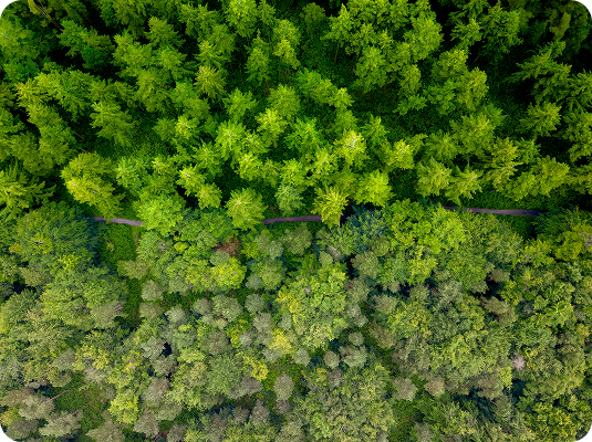
We work across a variety of applications in areas such as precision mining, sustainability, agriculture monitoring, supply chain mapping, disaster response support, weather forecasting and infrastructure planning. Helping to equip our customers with the information they need to optimise, plan, monitor, model, design and execute better business decisions and processes.

Why Choose Us

Customized Solutions

We tailor our Earth observation technologies to meet your specific business goals, ensuring relevant insights that drive your success.

Advanced Technology Integration

By leveraging high-resolution satellite imagery, smart sensors, and cutting-edge AI, we deliver precise analytics that enhance decision-making.

Diverse Industry Applications

Our expertise spans multiple sectors—including agriculture, mining, and infrastructure—enabling us to provide versatile solutions for your unique challenges.

Actionable Insights for Better Decisions

We transform complex data into clear, actionable insights, empowering you to optimize processes and respond swiftly to changing conditions.

117

Governments

Now cooperate through the Group on Earth Observations (GEO) to apply Earth-intelligence for environmental policy.

300

Million km²

Imaged Daily

By PlanetScope and similar constellations, enabling near-real-time monitoring of land, forests and cities every 24 h.

147256

km²

Mangroves Mapped

With 50 % of provinces now classed as threatened; EO baselines are critical for blue-carbon MRV.

943

Disasters Supported

Across 136 countries since 2000 via the International Charter; in 2023, 90 % of activations got first crisis imagery < 2 h.

Partners &
Supporters

What We Do

Comprehensive Carbon Solutions

We address the lack of accurate, affordable, and timely data for monitoring Blue Carbon ecosystem monitoring through an innovative approach that combines traditional methods with cutting-edge technology.

  • Data Collection: We integrate Earth observation data, ground truth measurements, and advanced analytics to provide a comprehensive view of Blue Carbon ecosystems.
  • AI-Powered Processing: Our AI/ML algorithms process the data to estimate carbon stocks and emissions, delivering precise and actionable insights.
  • Visualization: Our platform presents the information on a user-friendly interface, allowing for easy monitoring and decision-making.
  • Future Plans: Develop a one-stop Blue carbon monitoring solution that integrates space-based technology with ground-level data for a unified approach.

Meet Our Team

Our Locations

Orbital Universe is QL Group’s latest venture and is powered by QL Space , QL Tech and QL Resources . QL Group operates across Australia,
India, UAE, Jordan, and Canada, so Orbital Universe is geared for global impact, backed by proven tech.

Get the latest updates and
helpful information

Get In Touch

Reach out to Orbital Universe and let’s create solutions for a better tomorrow.